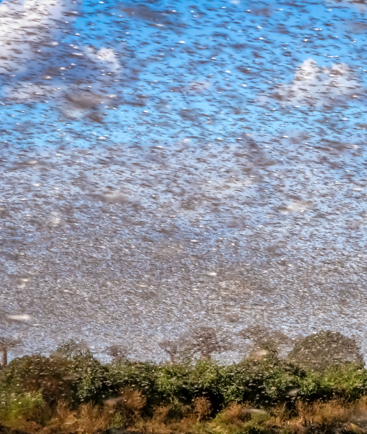
The desert locust plague represents a severe threat to food security and livelihoods in the already vulnerable region of Eastern Africa. Soil moisture is a very good indicator of the desert locust reproduction potential as locust females select moist sandy areas to lay their eggs.
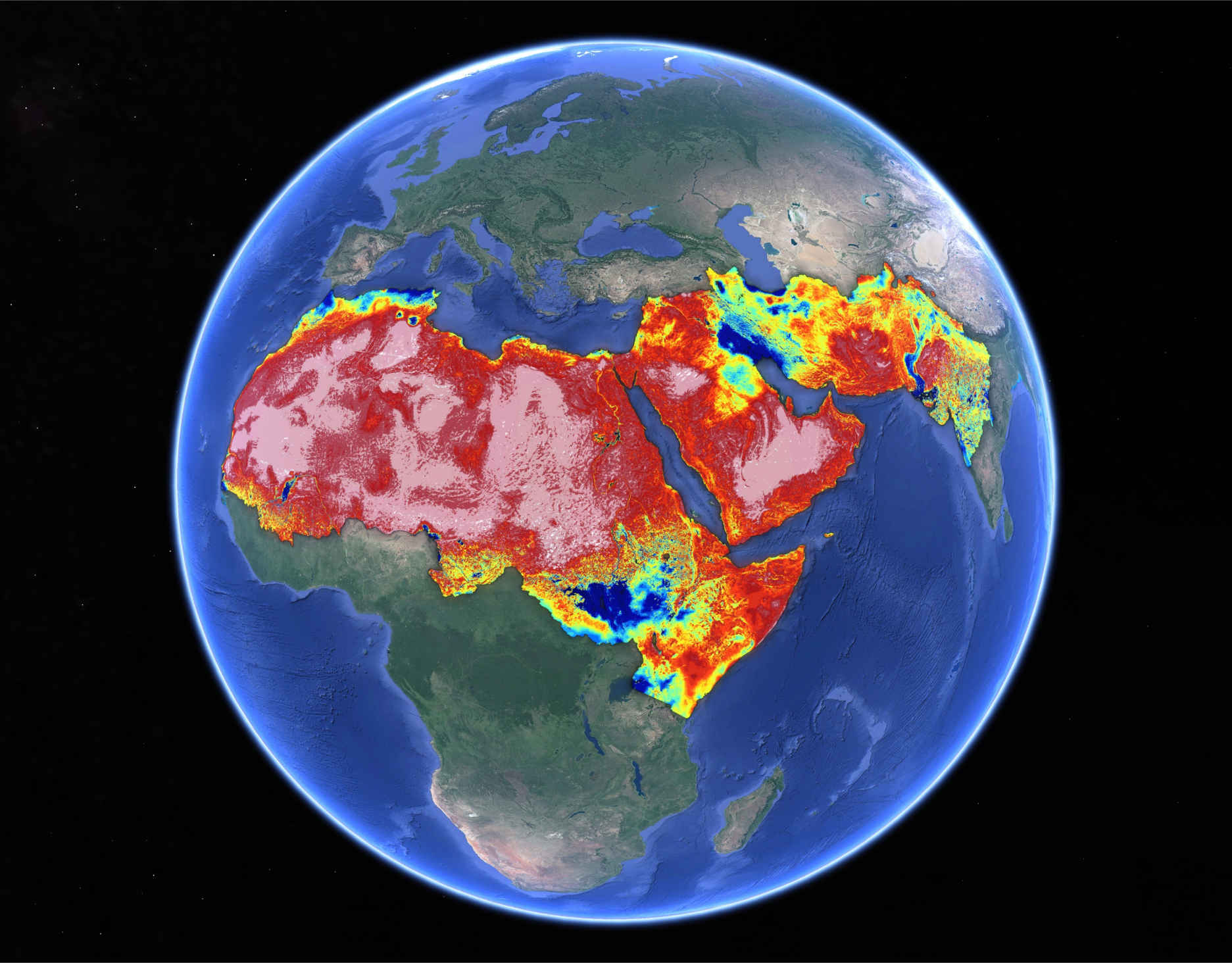
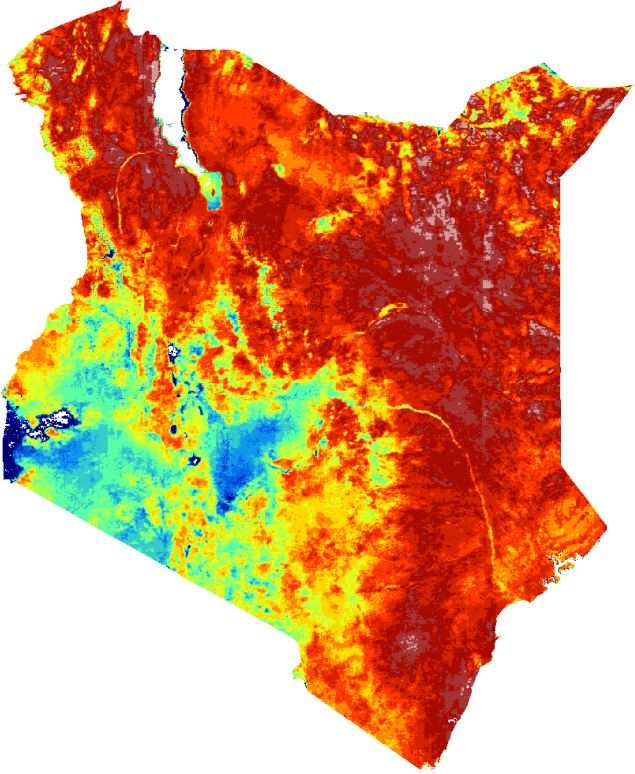
An operational service providing soil moisture data at 1 km resolution has been developed by Lobelia for the FAO Desert Locust Information Service’s early warning system.
Data provided by Lobelia allows decision-makers to anticipate potentially decimating locust outbreaks by 2 to 3 months and act accordingly.
The Soil Moisture product is based on a disaggregation algorithm that takes coarser-resolution input from the SMAP and SMOS satellite missions. Combined with other inputs, it is able to generate global Soil Moisture maps at high resolution.


From our API to your software, easy to integrate with your workflow. Real-time access to spatial and temporal slices securely, automatically and with 24/7 availability.
Use your own viewer or Lobelia’s visualization platform.
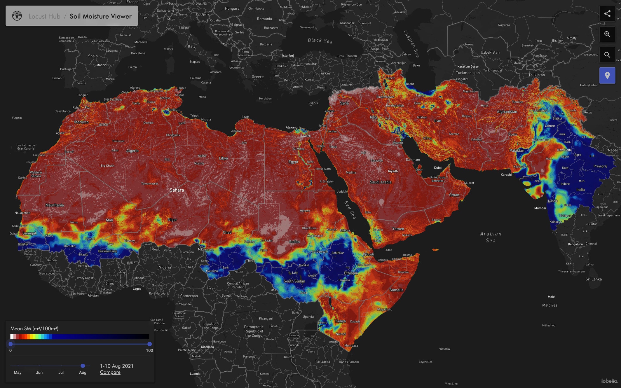
See the viewer in action in the ArcGIS FAO site