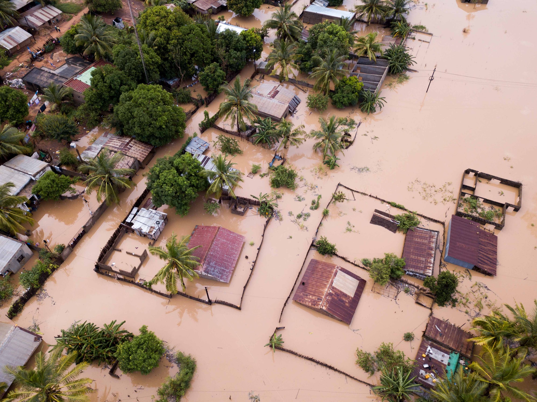
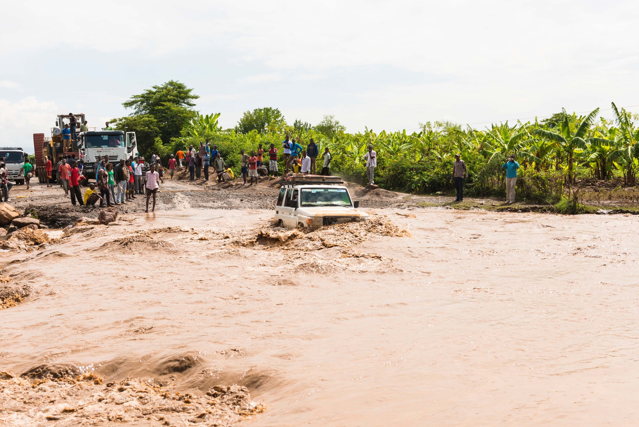
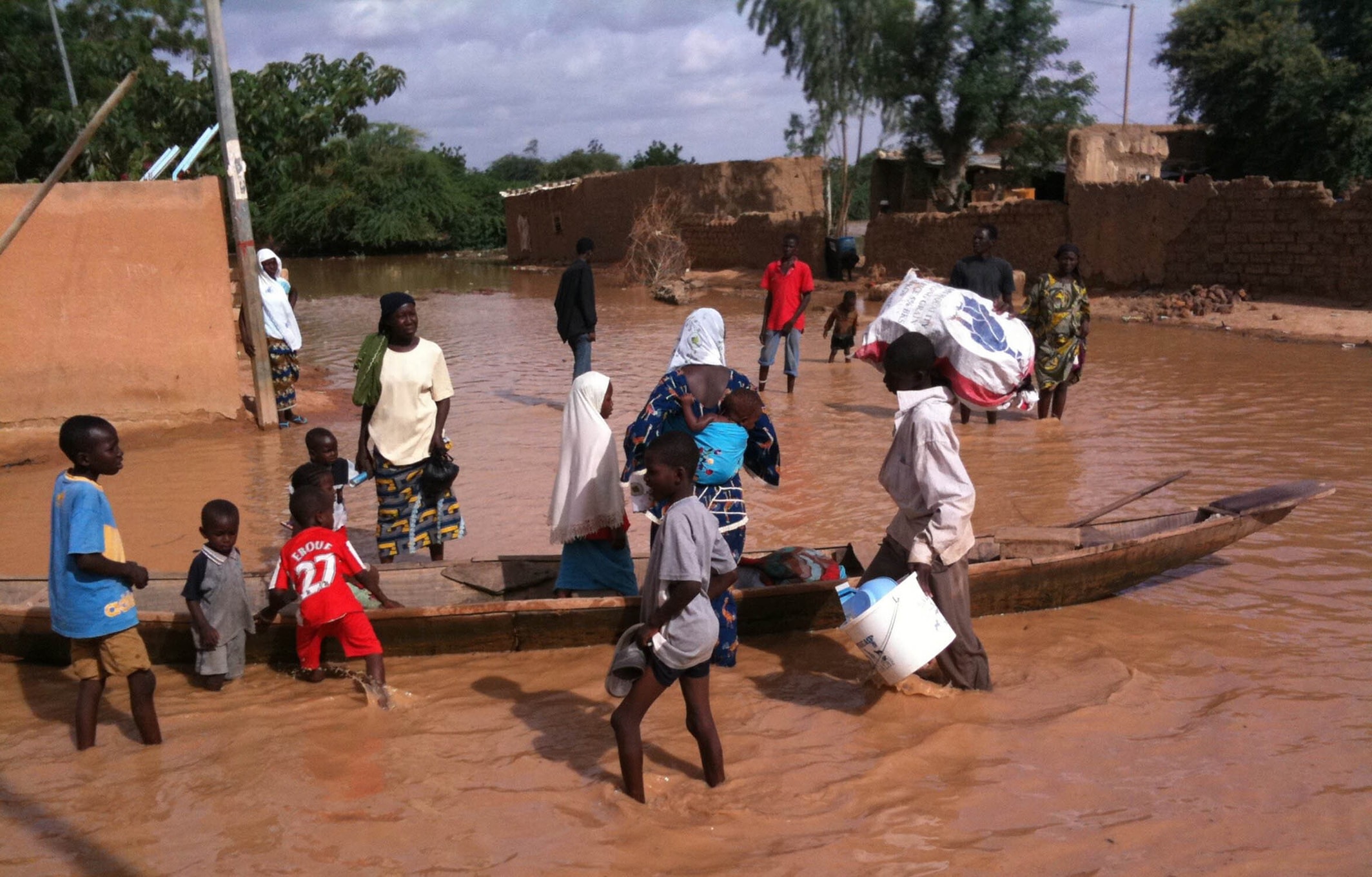
Floods are a rapidly growing concern in West Africa, and they are projected to increase with climate change.
Lobelia and the Swedish Meteorological and Hydrological Institute (SMHI), along with other partners, have implemented a forecasting and early-warning system used by West African key institutions in disaster risk reduction.

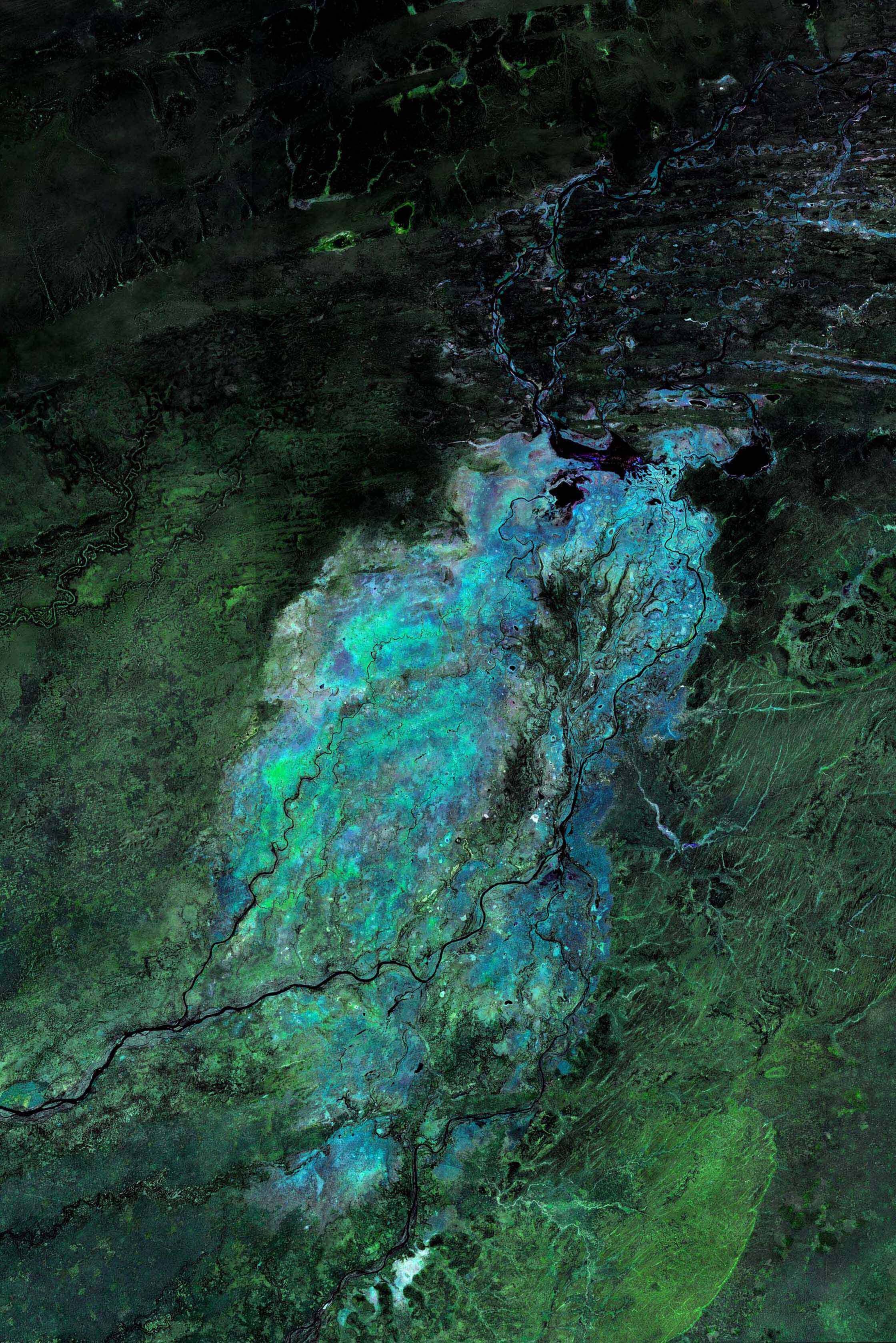
Lobelia produces satellite-based water level products for the Niger River basin. The data is sequentially assimilated into SMHI’s hydrological model (HYPE) to predict river discharge in ungauged areas and to generate 10-day flood forecasting data used for early-warning alerts.
The system and the data are adapted to regional conditions and operated by local authorities. The early warning system is accessible from a web interface, via SMS, e-mail, and application programming interfaces (API).

“In September last year, we received an early warning from the FANFAR system which saved approximately 2,500 lives. The warning helped us evacuate five communities near the Jebba dam before more than 200 houses were destroyed by the flood”.
Aishatu Tani Ibrahim, Director of Engineering Hydrology at the Nigeria Hydrological Services Agency in Abuja, Nigeria. (September 2020)

Lobelia’s satellite observations provide water level data for areas where no information is available otherwise. When assimilated in hydrological models this information improves their accuracy and enables more robust operational flood forecasts and alert systems, based on observed measurements.


Are you interested in knowing more about how Lobelia can support your business now and in the long term with accurate data for risk anticipation?
Visit our section Water to explore more case studies or contact us for more information.